
Home
How Can We Help You?
Call: 303.239.HELP (4357)
New ASL On-Demand Pilot Launches in Colorado
Everyone should have equitable access to state services. Through a new partnership with Aira ASL, a State of Colorado initiative, Coloradans who are Deaf or hard of hearing can become more independent as they navigate various state government locations and services.
Aira ASL provides remote, on-demand American Sign Language (ASL) interpreting through a mobile app, which instantly connects ASL users with a professional human interpreter for free 30-minute sessions. The service is currently being offered through a limited pilot program at the State Capitol complex, all History Colorado museums and historic sites, and the Colorado Department of Labor and Employment’s (CDLE) Vocational Rehabilitation locations and Workforce Centers. Calls are secure and available with no advance reservations needed. Available on the Apple and Google Play stores.
Innovative partnerships like this one help us get even closer to a Colorado for All.
The Invisible Engine: How Sean Settle and OIT Power Colorado
Sean Settle, Portfolio Manager in the Enterprise Project Management Office. Sean is being recognized for the Governor’s Office of Information Technology (OIT) Core Value of Teamwork.
For most people, the technology powering their daily lives is invisible—and that is exactly the point. It is only when systems work flawlessly do we forget the immense effort behind their creation.
Employee Spotlight: How Integrity Drives OIT’s Daily Operations
This month, we shine the spotlight on Corey Moody, Service Desk Analyst with OIT, and is being recognized for the OIT Core Value of Integrity.
While much of the work in OIT occurs behind closed doors, its effects are felt directly by the public. Corey’s job is to support the systems and services that Colorado citizens depend on.

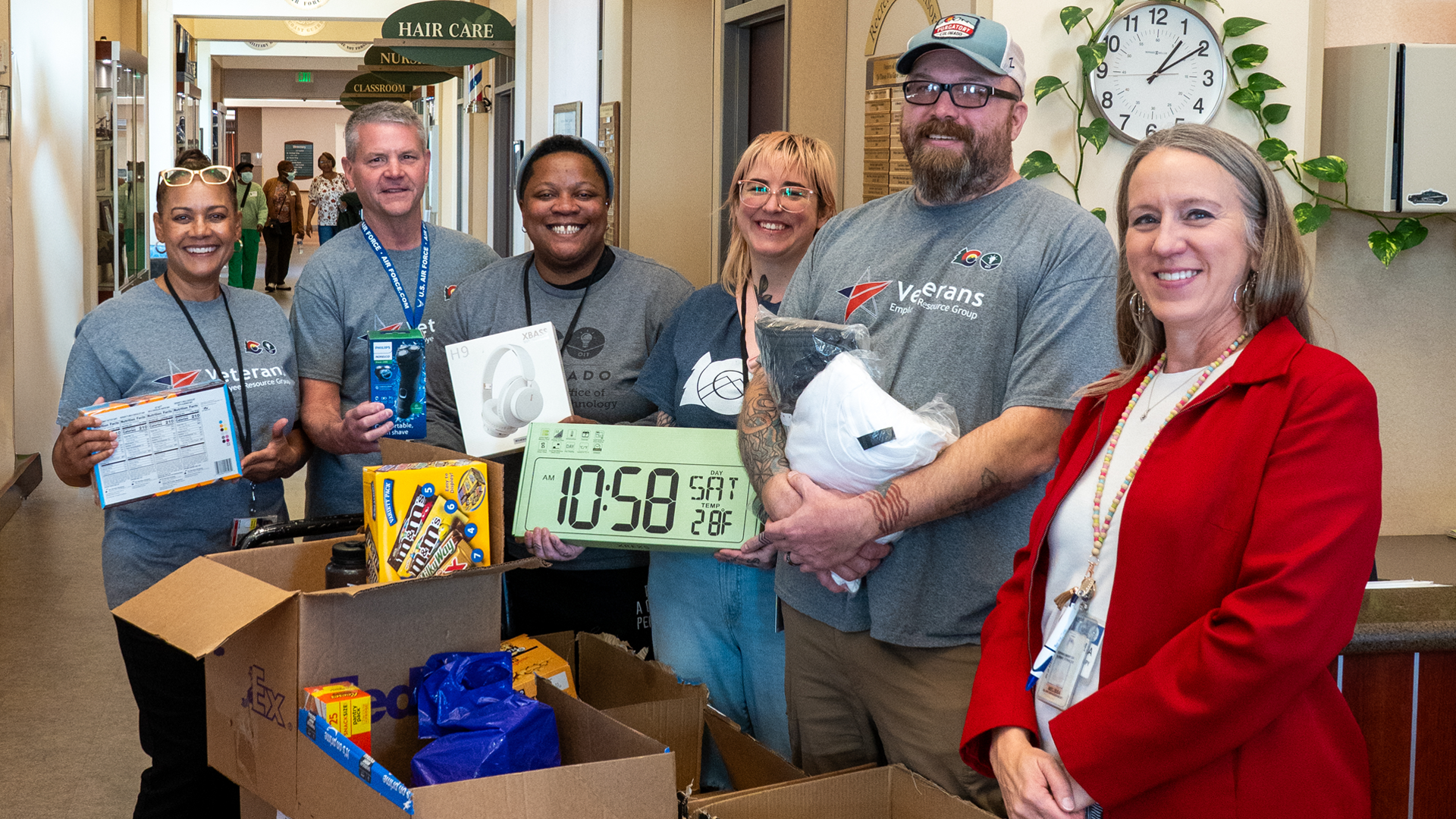
Creating a Connection Culture: A Behind-the-Scenes Look at the Veterans@OIT Employee Resource Group
While veterans are often viewed solely through the lens of their military service, OIT cultivates a supportive environment where veterans can leverage their experience to enrich OIT’s culture and enhance its success. Members of our Veterans@OIT ERG have opportunities to expand their personal and professional development by networking, providing training and participating in community engagement activities.
Mapping a Path Forward: How OIT’s GIS team is Helping Remote Counties Access Crucial Data
Our Geographic Information Systems (GIS) team plays a unique role at the state level, working to coordinate GIS efforts across Colorado. This involves providing resources, enhancing the availability of geospatial information and fostering relationships with partners around the state. Last December, they completed a project that illustrates how these technical efforts can assist counties that lack dedicated GIS resources in their operations. We are sharing this story now to highlight the long-term success and impact the application has demonstrated over the past year of deployment.